Tips: Select Region and/or pan the Navigator map until the point you want to view in large resolution is under the cross hairs. Detailed image of this point will appear on the bottom map. You may also drag bottom map to explore other territories. Move curser over markers to get the name of a fishing spot and click on the marker for fishing spot information. |
Tips: |
||||
 Saltwater Spot Saltwater Spot |
 Lake Spot Lake Spot |
 Slough Spot Slough Spot |
||
|
||||
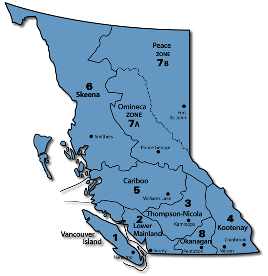
| Fishing Spot | F/W Region |
Proxy City |
Angler Usage |
Road Access |
Washroom Facilities |
| Birkenhead Lake | R-2 |
Pemberton |
Heavy |
Gravel |
Developed |
| Birkenhead River | R-2 |
Pemberton |
Rare |
Paved |
Natural |
| Blackwater Lake | R-2 |
Pemberton |
High |
Paved |
Primitive |
| Cerulean Lake | R-2 |
Pemberton |
Low |
Trail |
Natural |
| Duffey Lake | R-2 |
Pemberton |
High |
Paved |
Primitive |
| Fire Lake | R-2 |
Pemberton |
Moderate |
4x4 |
Natural |
| Gates Lake | R-2 |
Pemberton |
High |
Paved |
Natural |
| Glacier Lake | R-2 |
Pemberton |
Moderate |
4x4 |
Natural |
| Gun Lake | R-2 |
Pemberton |
High |
Paved |
Primitive |
| Gwenth Lake | R-2 |
Pemberton |
High |
Paved |
Primitive |
| Mosquito Lake | R-2 |
Pemberton |
Moderate |
4x4 |
Primitive |
| Tenquille Lake | R-2 |
Pemberton |
Low |
Trail |
Natural |
Note: Please be patient if no items match your search criteria, as data is currently still being loaded. Please contact us if you would like a specific lake, river or ocean fishing spot added to the database.
 |